Comparing RESEPI XT-32 vs Livox Avia LiDAR for Drone Surveying Mapping

Posted by Inertial Labs on Aug 8, 2022 1:11:32 PM


Deciding which drone LiDAR system to get is not easy, especially if it’s your first unit. Cost of a drone LiDAR package, although much lower today compared to just 18 months ago, still can get expensive. But cost should not be the only consideration, maybe not even the most important one. Performance should be carefully investigated, along with other key factors such as quality of manufacturing and post-sale support. Fortunately, all RESEPI systems use the same high-performance tactical-grade Inertial Measurement Unit (IMU) developed and manufactured by Inertial Labs, which is tested and calibrated at our headquarters in Virginia, USA. This allows for a streamline process that reduces costs and increases the quality of the product.

Our goal is to help you find the best product that meets or exceeds your requirements while fitting into your budget.

Read More

Topics: Surveying, UAV, LiDAR, Livox, Avia

Quality and Quantity – A Detailed Look at the Inertial Labs Kernel-100

Posted by Luke Wilson on Feb 8, 2021 2:35:33 PM

The Kernel-100

The Kernel-100 is a compact and lightweight Inertial Measurement Unit (IMU) and Digital Tilt Sensor (DTS) that consists of precision tri-axis MEMS accelerometers and tri-axis MEMS gyroscopes. This industrial grade IMU measures linear accelerations and angular rates  with low noise and good repeatability. With continuous built-in test (BIT),  electromagnetic interference protection, and flexible input power requirements, the Kernel-100 is easy to use in a wide range of higher order systems. 

Read More

Topics: Stabilization, Surveying, Industrial, IMU, Development, Kernel, Tactical

The Inertial Labs miniAHRS and Directional Surveillance

Posted by Luke Wilson on Dec 22, 2020 11:17:41 AM

What is a Directional Survey?

A directional survey is a survey method that can be used to map a variety of underground drilling applications. Directional surveys are used to map a planned underground route by using aiding data provided from any combination of directional survey stations. [1] Directional survey stations serve as a reference point that corresponds to a measured depth along the actual bored path known as the actual well path. While the drill bores a hole along a planned route, data regarding the borehole inclination and azimuth is transmitted back to a computer that is controlled by an operator. This data allows the operator to control the speed and direction of the drill as it advances. Directional surveying enables the user to carry out operation with minimal disturbance to natural habitats and helps to reduce accidents that can occur from directional drilling, which is any drilling is not directly downwards. 

Read More

Topics: Surveying, Industrial, miniAHRS

Point Cloud Generation for Mapping and Scanning Industries Using the INS-B

Posted by Luke Wilson on Aug 10, 2020 9:00:00 AM

What is a Point Cloud?

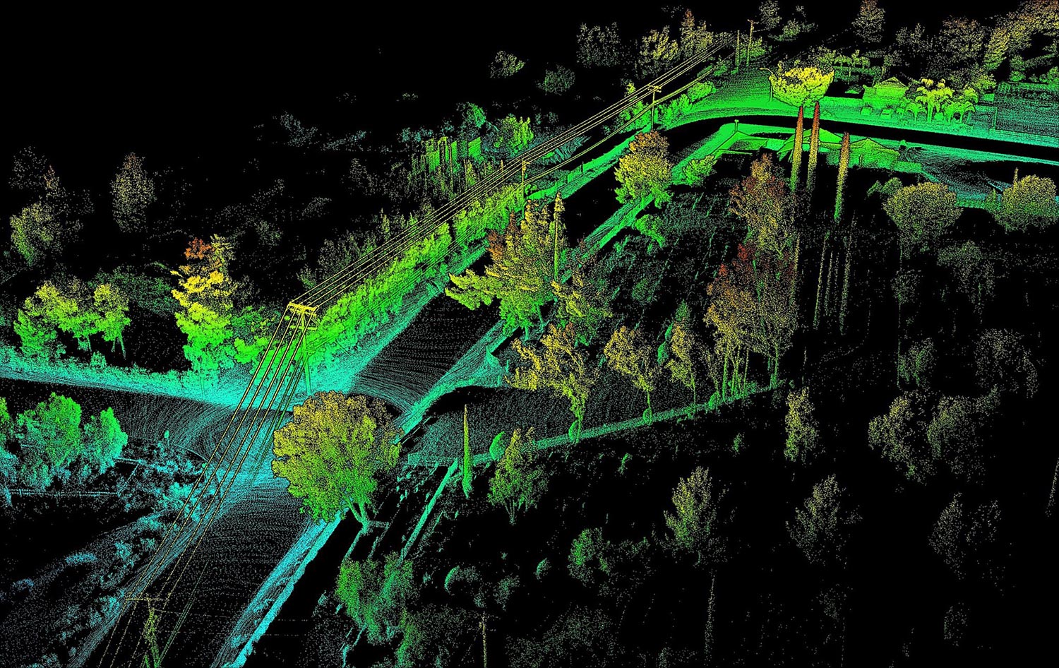
A point cloud is created by scanning an area with a 3D Laser Scanner. This scan is then imported into post-processing software (unless desired accuracy is obtained in real-time) where errors are removed. After processing the data, modeling software is used where the clouds can either be geo-referenced to a ground plane or manipulated locally without reference. From here, point clouds are then exported into computer-aided design (CAD) or building information modeling (BIM) systems, where they can be manipulated further, generating meshes and applying boundary conditions to generate accurate and realistic 3D models (1). Even with an explanation of a point cloud it is still hard to understand what a point cloud is if one has not been familiarized with the technology. When the user performs a scan, the laser scanner sends out beams of light in many different directions. As these light beams are reflected to the scanner, the system uses a datalogger to record reflected positions as localized vectors. These scan files can contain as little as thousands of logged vectors or as many as millions, if not billions depending on the scanning project at hand. These 3D vectors are then used in the post-processing software to generate a visualized point cloud.

Read More

Topics: Surveying, Mapping, LiDAR, Point Cloud

“Tunnel Guide” Feature for GPS-Aided INS Improves Performance During GNSS Outage

Posted by Will Dillingham on Jul 27, 2020 10:08:58 AM

Defining the Problem

For years Inertial Labs has produced high accuracy Inertial Navigation Systems (INS) at the world’s best price-performance ratio. An INS estimates the position, attitude, and velocity using the gyroscopes and accelerometers contained inside an inertial measurement unit (IMU). Position accuracy can be greatly improved when the INS is aided by Global Navigation Satellite System (GNSS). However, GNSS is not always available. Customer requirements demand for better performance of an INS during a GNSS outage. Outages can be caused by tunnels, urban canyons, roads under bridges, etc. 

Read More

Topics: Motion Capture, GPS Denied Navigation, GPS-Aided Navigation, Stabilization, Aiming, Pointing, Surveying, Mapping, Navigation


Inertial Labs Inc.

Solutions for all PNT Applications

Established in 2001, Inertial Labs is a leader in position and orientation technologies for commercial, industrial, aerospace and defense applications. Inertial Labs has a worldwide distributor and representative network covering 20+ countries across 6 continents and a standard product line spanning from Inertial Measurement Units (IMU) to GPS-Aided Inertial Navigation Systems (INS). With application breadth on Land, Air, and Sea; Inertial Labs covers the gambit of inertial technologies and solutions.

What makes us different:

Subscribe Here!

Recent Posts