Comparing RESEPI XT-32 vs Livox Avia LiDAR for Drone Surveying Mapping

Posted by Inertial Labs on Aug 8, 2022 1:11:32 PM


Deciding which drone LiDAR system to get is not easy, especially if it’s your first unit. Cost of a drone LiDAR package, although much lower today compared to just 18 months ago, still can get expensive. But cost should not be the only consideration, maybe not even the most important one. Performance should be carefully investigated, along with other key factors such as quality of manufacturing and post-sale support. Fortunately, all RESEPI systems use the same high-performance tactical-grade Inertial Measurement Unit (IMU) developed and manufactured by Inertial Labs, which is tested and calibrated at our headquarters in Virginia, USA. This allows for a streamline process that reduces costs and increases the quality of the product.

Our goal is to help you find the best product that meets or exceeds your requirements while fitting into your budget.

Read More

Topics: Surveying, UAV, LiDAR, Livox, Avia

Providing Actionable LiDAR Point Cloud Deliverables and the Inertial Labs RESEPI

Posted by Luke Wilson on Jul 19, 2021 5:07:03 PM

What is LiDAR Point Cloud?

Components Overview

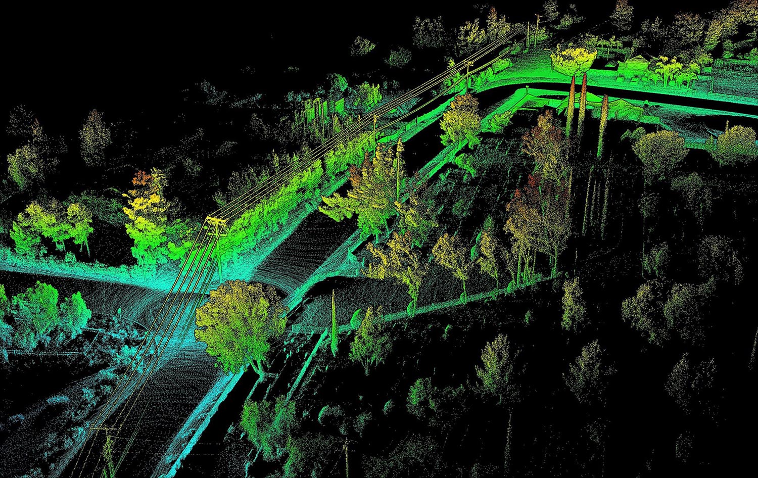
A LiDAR point cloud is a collection of millions (even billions) of points that is used to accurately map an environment in a way similarly to how a pointillism painting creates a picture. Each of these points have a location in a known coordinate system (local or global), along with a value for intensity which quantifies the amount of light energy that is recorded by the scanner. A LiDAR point cloud is the product of sensor fusion across a GPS-Aided Inertial Navigation System (INS) and a LiDAR scanner. Each sensor plays a critical role in how a LiDAR payload functions and the applicability of its point cloud output.

Read More

Topics: LiDAR, Point Cloud, RESEPI

Inertial Labs Introduces the Complete Remote Sensing Payload Solution

Posted by Inertial Labs on Nov 12, 2020 2:50:19 PM

Introduction to Remote Sensing and Scanning

Light detection and ranging (LiDAR) sensors are a commonly used source of optical information for remote sensing payloads in scanning and surveying applications. LiDAR payloads use penetrating pulses of laser light that are reflected and used to determine relative distance to the point that it reflected from. When these pulses backscatter (reflect at an angle of 180 degrees), many payloads will use inertial navigation systems (INS) to timestamp and georeference data points that are acquired. Compiled together, these individual data points paired with point cloud software streamline the process for analyzing structures and ground planes.

Read More

Topics: Remote Sensing, LiDAR, RESEPI

Point Cloud Generation for Mapping and Scanning Industries Using the INS-B

Posted by Luke Wilson on Aug 10, 2020 9:00:00 AM

What is a Point Cloud?

A point cloud is created by scanning an area with a 3D Laser Scanner. This scan is then imported into post-processing software (unless desired accuracy is obtained in real-time) where errors are removed. After processing the data, modeling software is used where the clouds can either be geo-referenced to a ground plane or manipulated locally without reference. From here, point clouds are then exported into computer-aided design (CAD) or building information modeling (BIM) systems, where they can be manipulated further, generating meshes and applying boundary conditions to generate accurate and realistic 3D models (1). Even with an explanation of a point cloud it is still hard to understand what a point cloud is if one has not been familiarized with the technology. When the user performs a scan, the laser scanner sends out beams of light in many different directions. As these light beams are reflected to the scanner, the system uses a datalogger to record reflected positions as localized vectors. These scan files can contain as little as thousands of logged vectors or as many as millions, if not billions depending on the scanning project at hand. These 3D vectors are then used in the post-processing software to generate a visualized point cloud.

Read More

Topics: Surveying, Mapping, LiDAR, Point Cloud


Inertial Labs Inc.

Solutions for all PNT Applications

Established in 2001, Inertial Labs is a leader in position and orientation technologies for commercial, industrial, aerospace and defense applications. Inertial Labs has a worldwide distributor and representative network covering 20+ countries across 6 continents and a standard product line spanning from Inertial Measurement Units (IMU) to GPS-Aided Inertial Navigation Systems (INS). With application breadth on Land, Air, and Sea; Inertial Labs covers the gambit of inertial technologies and solutions.

What makes us different:

Subscribe Here!

Recent Posts