Custom Solutions from Pixhawk Integration, an Open Source Flight Controller

Posted by Inertial Labs on Aug 26, 2021 5:09:11 PM

The Mission

Develop an autopilot platform capable of extended flight in a GNSS-denied environment for search and rescue missions.

The Resulting Product

We proudly announce the new Pixhawk 2.1 integration with Inertial Labs’ INS-P. Operating on the Ardupilot firmware, this complete open source autopilot solution can be fully customized for use across a wide variety of applications in addition to search and rescue adaptations.

Read More

Topics: GPS Denied Navigation, INS-P, GNSS, Development, autonomy, Pixhawk

“Tunnel Guide” Feature for GPS-Aided INS Improves Performance During GNSS Outage

Posted by Will Dillingham on Jul 27, 2020 10:08:58 AM

Defining the Problem

For years Inertial Labs has produced high accuracy Inertial Navigation Systems (INS) at the world’s best price-performance ratio. An INS estimates the position, attitude, and velocity using the gyroscopes and accelerometers contained inside an inertial measurement unit (IMU). Position accuracy can be greatly improved when the INS is aided by Global Navigation Satellite System (GNSS). However, GNSS is not always available. Customer requirements demand for better performance of an INS during a GNSS outage. Outages can be caused by tunnels, urban canyons, roads under bridges, etc. 

Read More

Topics: Motion Capture, GPS Denied Navigation, GPS-Aided Navigation, Stabilization, Aiming, Pointing, Surveying, Mapping, Navigation

Twenty Years in the Making: The Inertial Labs Robust and Modular Kalman Filter

Posted by Luke Wilson on Jul 9, 2020 5:29:25 PM

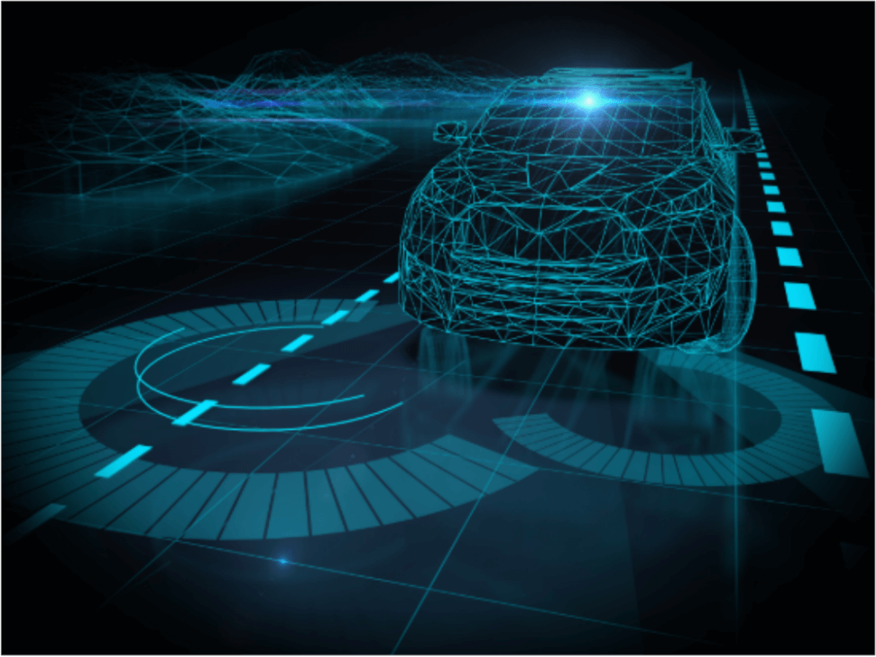
What is Sensor Fusion?

Sensor fusion plays a large role in any device that is attempting to produce estimated, quantifiable data. Sensor fusion is the ability to bring together inputs from multiple sensors to produce a single model whose result is more accurate than that of the individual inputs alone. There are three fundamental methods of sensor fusion:

  • Redundant Sensors- All sensors give the same information for the environment.
  • Complementary Sensors- The sensors provide independent, disjointed information about its environment.
  • Coordinated Sensors- The sensors collect information about its environment sequentially.

From there, the information is communicated in one of three different ways. In a centralized setup, all sensors provide information to a common central node. If the configuration is decentralized, no information is communicated between the sensors and the nodes. If it is a distributed organization, then the nodes interchange sensor information at a given rate.

Read More

Topics: GPS Denied Navigation, Remote Sensing, Sensor Fusion, Kalman Filter

Marine Navigation and the Development of the Motion Reference Unit

Posted by Will Dillingham on Jun 18, 2020 3:22:54 PM

History of Marine Navigation

                The Stars

Early sea-fairing explorers utilized the stars as their navigational aid. Celestial navigation, or otherwise known as astronavigation utilized devices such as the gnomon, Kamal, sea astrolabe, quadrant, cross-staff, back-staff and sextant.

               Magnetic Compass

Dating back as early as 200 BCE in China during the reign of the Qin dynasty, the Chinese originally used magnetism to construct fortune-telling boards, which turned out to be used for following directions in more than one way (1). Early magnetic compasses began to be commonly used as navigation aids in the 11th century.

Read More

Topics: GPS Denied Navigation, GPS-Aided Navigation, Navigation, Marine, History

Embention Partners with Inertial Labs to Supply Complete Autopilot Payload Solution

Posted by Will Dillingham on Mar 13, 2020 2:11:41 PM

Partnership

Embention began investigating Inertial Labs as a supplier for inertial measurement units (IMU) or attitude and heading reference systems (AHRS) in 2013. Their developing project would involve integrating such sensors with targeted munition rounds specifically designed for controlling and mitigating forest fires.

In subsequent years, the Inertial Labs Inertial Navigation System became an appealing GPS-Denied navigation solution for Embention, who started discussing an integration with the Veronte Autopilot (produced by Embention) in 2016. Inertial Labs is delighted to announce the successful completion of integration efforts on November 26, 2019 when the INS-P, the professional version of the INS, was declared fully integrated and validated through testing.

Read More

Topics: GPS Denied Navigation, GPS-Aided Navigation, Surveying, Navigation


Inertial Labs Inc.

Solutions for all PNT Applications

Established in 2001, Inertial Labs is a leader in position and orientation technologies for commercial, industrial, aerospace and defense applications. Inertial Labs has a worldwide distributor and representative network covering 20+ countries across 6 continents and a standard product line spanning from Inertial Measurement Units (IMU) to GPS-Aided Inertial Navigation Systems (INS). With application breadth on Land, Air, and Sea; Inertial Labs covers the gambit of inertial technologies and solutions.

What makes us different:

Subscribe Here!

Recent Posts