Point Cloud Generation for Mapping and Scanning Industries Using the INS-B

Posted by Luke Wilson on Aug 10, 2020 9:00:00 AM

What is a Point Cloud?

A point cloud is created by scanning an area with a 3D Laser Scanner. This scan is then imported into post-processing software (unless desired accuracy is obtained in real-time) where errors are removed. After processing the data, modeling software is used where the clouds can either be geo-referenced to a ground plane or manipulated locally without reference. From here, point clouds are then exported into computer-aided design (CAD) or building information modeling (BIM) systems, where they can be manipulated further, generating meshes and applying boundary conditions to generate accurate and realistic 3D models (1). Even with an explanation of a point cloud it is still hard to understand what a point cloud is if one has not been familiarized with the technology. When the user performs a scan, the laser scanner sends out beams of light in many different directions. As these light beams are reflected to the scanner, the system uses a datalogger to record reflected positions as localized vectors. These scan files can contain as little as thousands of logged vectors or as many as millions, if not billions depending on the scanning project at hand. These 3D vectors are then used in the post-processing software to generate a visualized point cloud.

Read More

Topics: Surveying, Mapping, LiDAR, Point Cloud

“Tunnel Guide” Feature for GPS-Aided INS Improves Performance During GNSS Outage

Posted by Will Dillingham on Jul 27, 2020 10:08:58 AM

Defining the Problem

For years Inertial Labs has produced high accuracy Inertial Navigation Systems (INS) at the world’s best price-performance ratio. An INS estimates the position, attitude, and velocity using the gyroscopes and accelerometers contained inside an inertial measurement unit (IMU). Position accuracy can be greatly improved when the INS is aided by Global Navigation Satellite System (GNSS). However, GNSS is not always available. Customer requirements demand for better performance of an INS during a GNSS outage. Outages can be caused by tunnels, urban canyons, roads under bridges, etc. 

Read More

Topics: Motion Capture, GPS Denied Navigation, GPS-Aided Navigation, Stabilization, Aiming, Pointing, Surveying, Mapping, Navigation

Direct Georeferencing for Photogrammetry Using Inertial Labs INS-B

Posted by Will Dillingham on Mar 27, 2020 10:30:00 AM

Aerial Photogrammetry

Aerial Photogrammetric analysis may be applied to a single image or high-speed imagery and remote sensing to detect, measure and record complex  3D motion fields. This is done by feeding measurements and image analysis into computational models that estimate the relative motions and positions with increasing accuracy. While in its early days it was used mostly for topographic mapping, it’s application base has recently expanded into numerous industries. Modern sensors and software capabilities allow for the creation of precise 3D renderings and point cloud generation which is widely used in industries such as Filming, Sports, Game Development, Agriculture, Real Estate, Forensics, Land Surveying, and in Civil or Architectural Engineering. For these different applications, two methods of photogrammetry are used in practice today, Aerial Triangulation (AT), and a more modern approach, Direct Georeferencing.

Read More

Topics: GPS-Aided Navigation, Mapping, Navigation, UAV, Photogrammetry

Utilizing Methods of Precision Agriculture to Create a Sustainable Tomorrow

Posted by Will Dillingham on Jan 25, 2020 8:17:04 AM

Introduction

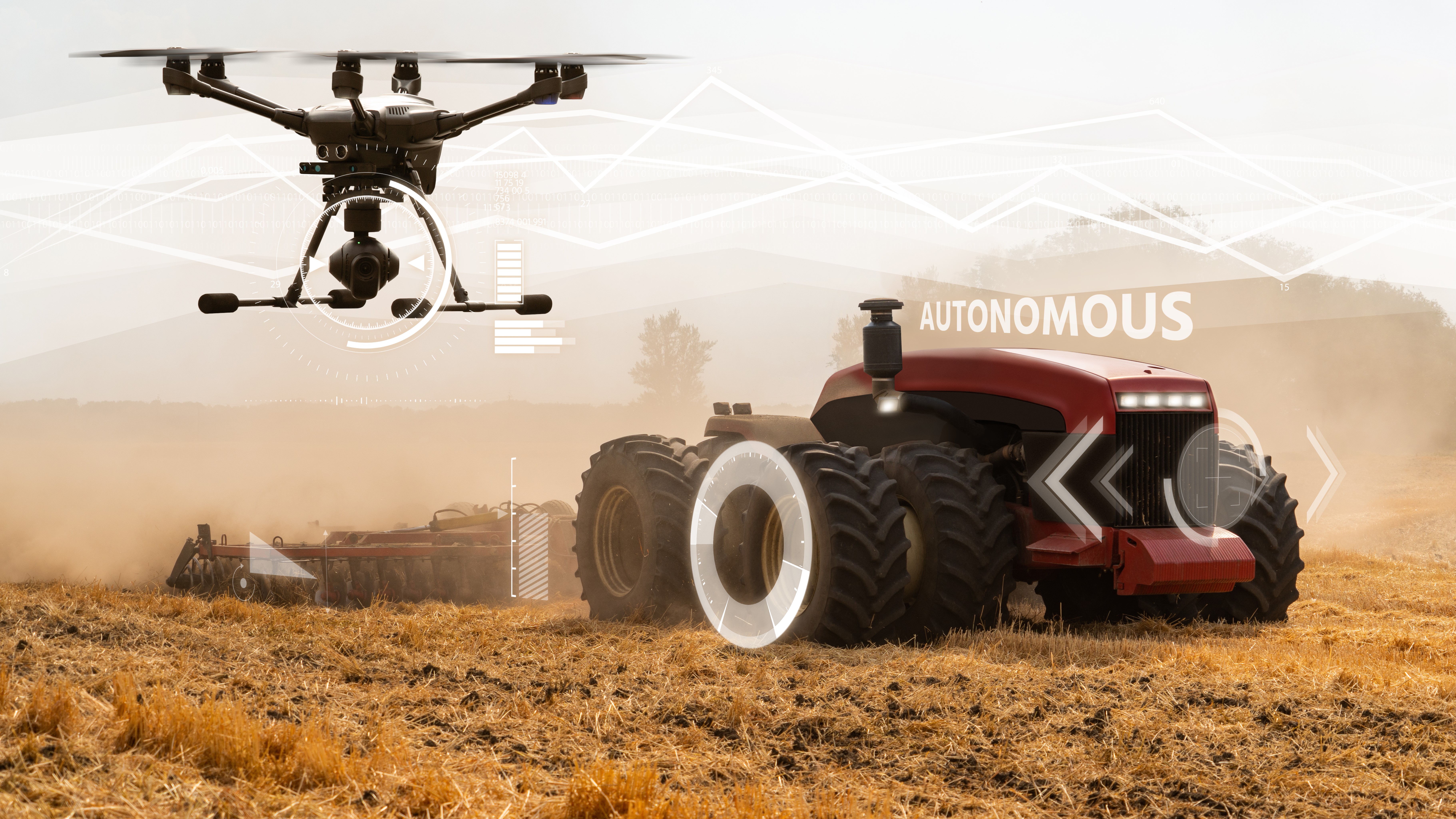
Precision Agriculture is one of the most used cases of autonomy in this century. Recent reports show that by the year 2025, Precision Agriculture is expected to grow to become a 43.4-billion-dollar industry worldwide(1). For an industry that didn’t begin gaining traction until the 1990’s, it’s quite an impressive market.

As it stands, the farming industry has some of the most constrained budgets of any industry on the planet. When it comes to investing in new methods of farming, the most important factor driving change is the cost of labor. If the technology that is involved in the potential methods of Precision Agriculture being considered are more expensive than human efforts to do the same job, then farmers simply have no reason to invest in the change. This creates a demand for inexpensive technology to maximize profitability.

Inertial Labs is teaming up with companies across the globe to engineer solutions that are helping farmers become more profitable. Whether you are a large-scale farming operation, or a small, local supplier of fresh fruits and vegetables to a farmer's market, automating your processes should be a hassle-free option that increases profit margin.

Read More

Topics: GPS-Aided Navigation, Surveying, Mapping, Precision Agriculture

GPS-Aided Inertial Navigation Systems (INS) for Remote Sensing

Posted by Will Dillingham on Jan 25, 2020 8:15:37 AM


Evolution of Remote Sensing

Remote sensing emerged more than 150 years ago, as balloonists took pictures of the ground using the recently invented photo cameras in the 1840s. Perhaps the most memorable breakthrough in the field at the end of the 19th century was the famous fleet of pigeons that operated as innovation in Europe, taking pictures with cameras attached to their bodies. By the First World War, cameras mounted on airplanes provided aerial views of vast surface areas that proved to be invaluable in military reconnaissance. The aerial photograph remained the single standard tool for imaging the surface up until the early 1960s.


Read More

Topics: GPS-Aided Navigation, Mapping, Remote Sensing


Inertial Labs Inc.

Solutions for all PNT Applications

Established in 2001, Inertial Labs is a leader in position and orientation technologies for commercial, industrial, aerospace and defense applications. Inertial Labs has a worldwide distributor and representative network covering 20+ countries across 6 continents and a standard product line spanning from Inertial Measurement Units (IMU) to GPS-Aided Inertial Navigation Systems (INS). With application breadth on Land, Air, and Sea; Inertial Labs covers the gambit of inertial technologies and solutions.

What makes us different:

Subscribe Here!

Recent Posts