How Drones are Transforming Construction and Infrastructure Inspection

Posted by Will Dillingham on Apr 6, 2020 10:00:00 AM

Introduction

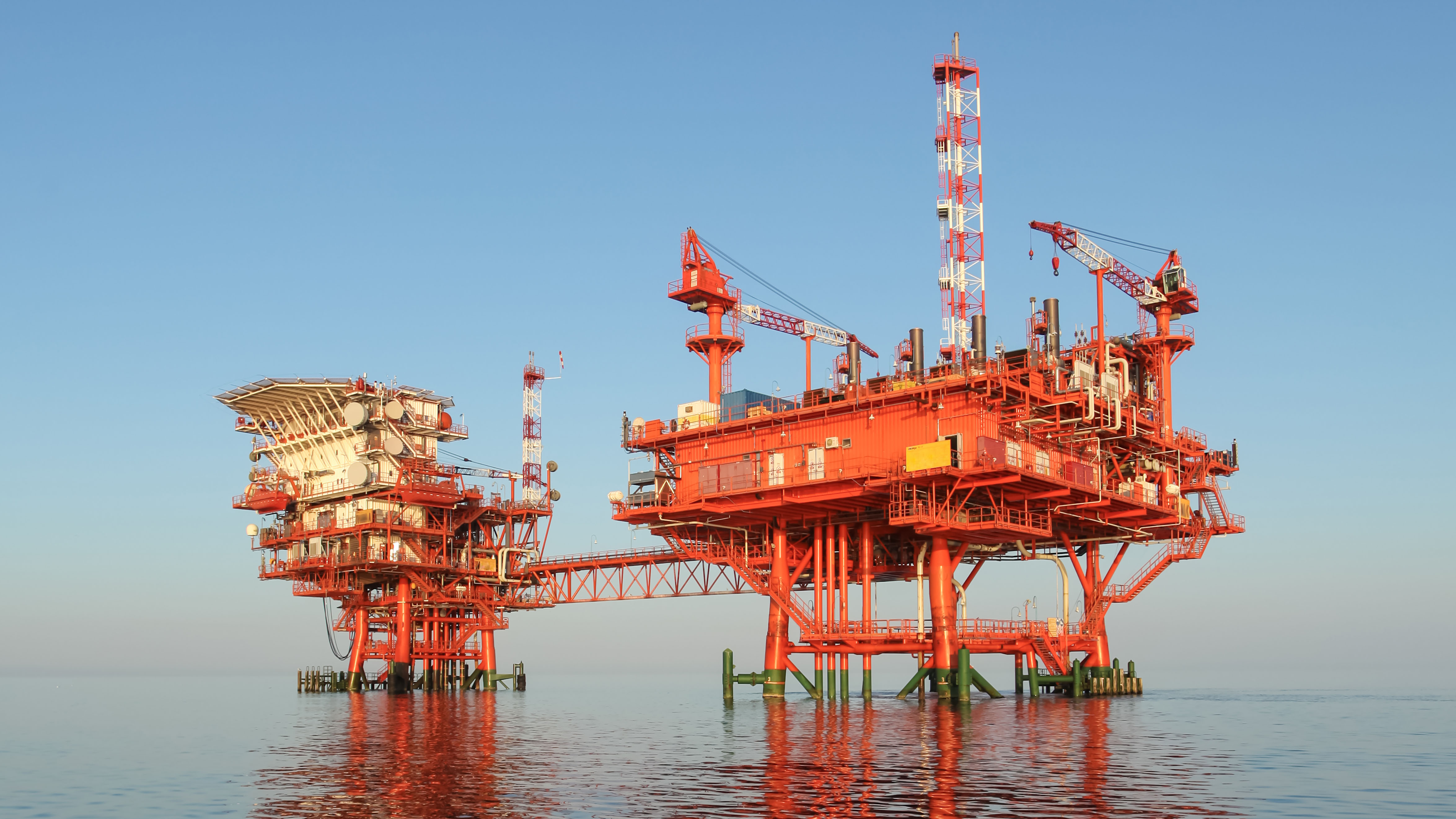
Ensuring our infrastructure is running, and our job and construction sites are safe should be a top priority. However, the maintenance and inspections needed is inherently dangerous and often time-consuming and repetitive, making drones instrumental and valuable tools.

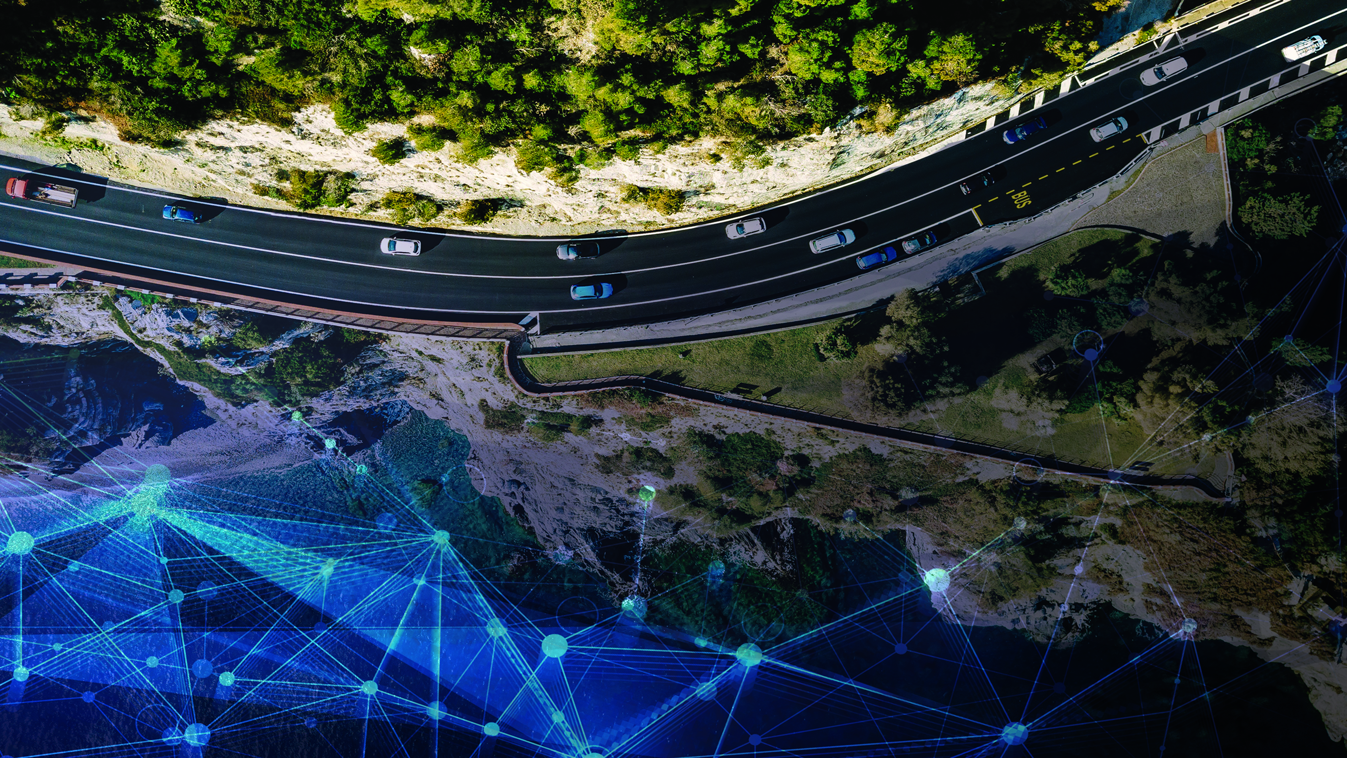
Drones can capture all kinds of data from images and videos, LiDAR scanning, mapping data, and a variety of data types related to air conditions, location, and precision location, including inertial data. As a result of using drones for these initial inspections, we can more quickly pinpoint the location and cause of the problem, and ensure that fewer humans are put in harm’s way.

Read More

Topics: GPS-Aided Navigation, Surveying, UAV, Industrial

The MRU-PD: A Motion, Heading and Position Sensor for Marine Applications

Posted by Will Dillingham on Mar 16, 2020 5:19:29 PM

Hydrography and Bathymetry

Bathymetric or Hydrographic surveys are survey methods used for submarine topography that have been implemented for observation of marine landscapes and structures for several decades. With the technology for executing a survey becoming more affordable, many businesses which can benefit from such data begin to pursue the proper equipment to use for themselves. Most users have a common goal of being environmentally aware of changes occurring due to the interaction with nature. Studying these changes usually involves measuring physical and chemical features of a body of water; or generating a 3D map of an underwater landscape/structure, to show its current state, or how it changes over time. A few examples of these survey methods being put into practice are:

  • Floodplain analysis
  • Dock maintenance
  • Seafloor tectonic interpretation
  • Submarine life conservation
  • Submarine natural resources deposit investigations
Read More

Topics: Surveying, Navigation, Marine, Dynamic Positioning

Embention Partners with Inertial Labs to Supply Complete Autopilot Payload Solution

Posted by Will Dillingham on Mar 13, 2020 2:11:41 PM

Partnership

Embention began investigating Inertial Labs as a supplier for inertial measurement units (IMU) or attitude and heading reference systems (AHRS) in 2013. Their developing project would involve integrating such sensors with targeted munition rounds specifically designed for controlling and mitigating forest fires.

In subsequent years, the Inertial Labs Inertial Navigation System became an appealing GPS-Denied navigation solution for Embention, who started discussing an integration with the Veronte Autopilot (produced by Embention) in 2016. Inertial Labs is delighted to announce the successful completion of integration efforts on November 26, 2019 when the INS-P, the professional version of the INS, was declared fully integrated and validated through testing.

Read More

Topics: GPS Denied Navigation, GPS-Aided Navigation, Surveying, Navigation

Utilizing Methods of Precision Agriculture to Create a Sustainable Tomorrow

Posted by Will Dillingham on Jan 25, 2020 8:17:04 AM

Introduction

Precision Agriculture is one of the most used cases of autonomy in this century. Recent reports show that by the year 2025, Precision Agriculture is expected to grow to become a 43.4-billion-dollar industry worldwide(1). For an industry that didn’t begin gaining traction until the 1990’s, it’s quite an impressive market.

As it stands, the farming industry has some of the most constrained budgets of any industry on the planet. When it comes to investing in new methods of farming, the most important factor driving change is the cost of labor. If the technology that is involved in the potential methods of Precision Agriculture being considered are more expensive than human efforts to do the same job, then farmers simply have no reason to invest in the change. This creates a demand for inexpensive technology to maximize profitability.

Inertial Labs is teaming up with companies across the globe to engineer solutions that are helping farmers become more profitable. Whether you are a large-scale farming operation, or a small, local supplier of fresh fruits and vegetables to a farmer's market, automating your processes should be a hassle-free option that increases profit margin.

Read More

Topics: GPS-Aided Navigation, Surveying, Mapping, Precision Agriculture


Inertial Labs Inc.

Solutions for all PNT Applications

Established in 2001, Inertial Labs is a leader in position and orientation technologies for commercial, industrial, aerospace and defense applications. Inertial Labs has a worldwide distributor and representative network covering 20+ countries across 6 continents and a standard product line spanning from Inertial Measurement Units (IMU) to GPS-Aided Inertial Navigation Systems (INS). With application breadth on Land, Air, and Sea; Inertial Labs covers the gambit of inertial technologies and solutions.

What makes us different:

Subscribe Here!

Recent Posts