Will Dillingham

Now graduated from Virginia Polytechnic Institute with a degree in Engineering Science and Mechanics, Will Dillingham is fully equipped to tackle all problems involving fundamental mechanics. During his time at Inertial Labs, Will has established himself as a jack-of-all-trades. From managing production projects, to maintaining and updating the website, to providing customer support, Will is a great authority on all things Inertial Labs. His main work priorities lie as an Application Engineer at Inertial Labs but in his side time he has nurtured a passion for rocketry and has experimented and tested composite propellants.
Find me on:

Recent Posts

Using Optics to Stabilize and Simulate Indirect Fire Control

Posted by Will Dillingham on Apr 1, 2020 3:30:00 AM

Aiding with Optics

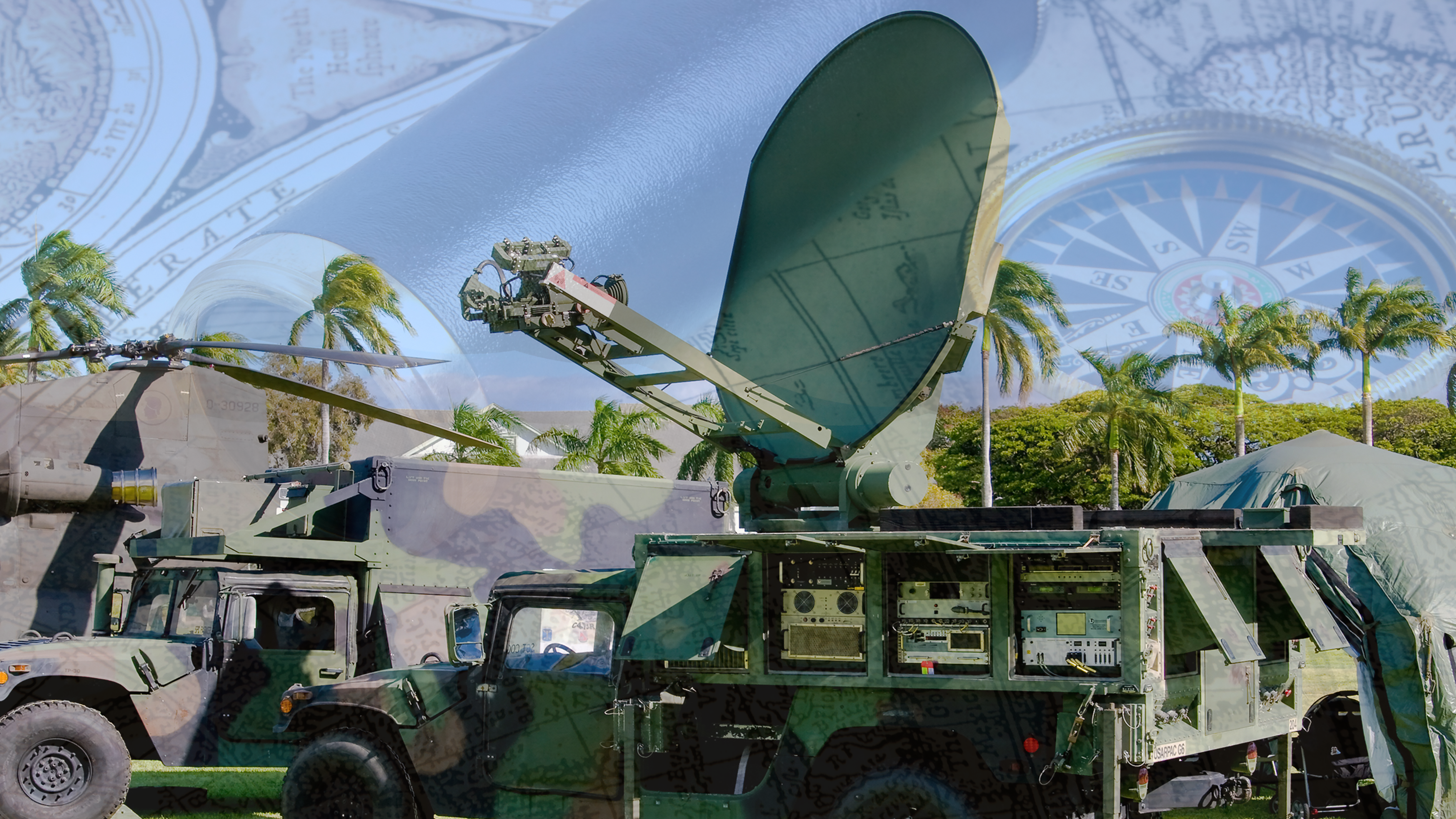
The main limitation for many microelectromechanical (MEMS) based inertial measurement units (IMUs) is the realization that drift will always be a factor when left uncompensated for. In today's market many solutions have been developed using GNSS data, magnetics, or optical sensors.

Optical data, when fused with an IMU, is useful for both dynamic and static applications depending on the level of computer vision implemented into the system. By using the IMU as a reference for orientation, optical data can be used to mitigate drift of the gyroscopes.

Inertial Labs has been continuously developing next generation systems that can use a combination of day and night operation cameras to stabilize heading.

Read More

Topics: Stabilization, Aiming, Pointing, orientation, Simulation

Direct Georeferencing for Photogrammetry Using Inertial Labs INS-B

Posted by Will Dillingham on Mar 27, 2020 10:30:00 AM

Aerial Photogrammetry

Aerial Photogrammetric analysis may be applied to a single image or high-speed imagery and remote sensing to detect, measure and record complex  3D motion fields. This is done by feeding measurements and image analysis into computational models that estimate the relative motions and positions with increasing accuracy. While in its early days it was used mostly for topographic mapping, it’s application base has recently expanded into numerous industries. Modern sensors and software capabilities allow for the creation of precise 3D renderings and point cloud generation which is widely used in industries such as Filming, Sports, Game Development, Agriculture, Real Estate, Forensics, Land Surveying, and in Civil or Architectural Engineering. For these different applications, two methods of photogrammetry are used in practice today, Aerial Triangulation (AT), and a more modern approach, Direct Georeferencing.

Read More

Topics: GPS-Aided Navigation, Mapping, Navigation, UAV, Photogrammetry

Attitude and Heading Reference System (AHRS) Supports Data Input From External Single or Dual GNSS Receiver

Posted by Will Dillingham on Mar 20, 2020 5:45:00 AM

Value Added AHRS

Since its first release, the Inertial Labs Attitude and Heading Reference System (AHRS) has continued to develop and improve in its performance as well as its integration abilities. The newest addition, the AHRS-II-P, is a compact, lightweight, and affordable solution both as a standalone reference unit or a solution where applications involving the integration of an external compass or GNSS receiver may be needed to improve an existing system. Although the AHRS-II-P comes standard with an embedded fluxgate magnetometer to determine accurate Heading, input is supported for an external magnetic compass to increase static and dynamic accuracy. The AHRS-II-P offers advantages over its competitors present on the market by recording and transmitting very accurate Heading, Pitch and Roll; a very appealing choice for applications involving motion control such as UAV’s, aircrafts, ships, or robotic devices.

Read More

Topics: Stabilization, Aiming, Pointing, orientation

How the Inertial Labs Kernel Tilt Sensors are Shaping Construction Safety

Posted by Will Dillingham on Mar 17, 2020 10:14:04 AM

The Price of Safety

As of today, the leading cause of fatalities and injury in the construction industry is due to a falling related incident. Data that was gathered by the United States Department of Labor and published by the Occupational Health and Safety Administration (OSHA) found that in 2017, falling incidents alone contributed to 39.2% of the total construction tragedies(1). But how do these incidents happen?

Much of the conventionally used construction equipment is designed to safely extend a worker as far as possible in order to allow them to operate in difficult to reach places that current automated processes are not capable of doing. These working platforms are called Mobile Elevated Work Platforms (MEWPs). Although effective by design for accomplishing work, these machines, when used improperly, can become dangerous. Below are a few examples of commonly used equipment where risk of injury is much higher.

Read More

Topics: Stabilization, Pointing, orientation, Industrial

The MRU-PD: A Motion, Heading and Position Sensor for Marine Applications

Posted by Will Dillingham on Mar 16, 2020 5:19:29 PM

Hydrography and Bathymetry

Bathymetric or Hydrographic surveys are survey methods used for submarine topography that have been implemented for observation of marine landscapes and structures for several decades. With the technology for executing a survey becoming more affordable, many businesses which can benefit from such data begin to pursue the proper equipment to use for themselves. Most users have a common goal of being environmentally aware of changes occurring due to the interaction with nature. Studying these changes usually involves measuring physical and chemical features of a body of water; or generating a 3D map of an underwater landscape/structure, to show its current state, or how it changes over time. A few examples of these survey methods being put into practice are:

  • Floodplain analysis
  • Dock maintenance
  • Seafloor tectonic interpretation
  • Submarine life conservation
  • Submarine natural resources deposit investigations
Read More

Topics: Surveying, Navigation, Marine, Dynamic Positioning


Inertial Labs Inc.

Solutions for all PNT Applications

Established in 2001, Inertial Labs is a leader in position and orientation technologies for commercial, industrial, aerospace and defense applications. Inertial Labs has a worldwide distributor and representative network covering 20+ countries across 6 continents and a standard product line spanning from Inertial Measurement Units (IMU) to GPS-Aided Inertial Navigation Systems (INS). With application breadth on Land, Air, and Sea; Inertial Labs covers the gambit of inertial technologies and solutions.

What makes us different:

Subscribe Here!

Recent Posts