Will Dillingham

Now graduated from Virginia Polytechnic Institute with a degree in Engineering Science and Mechanics, Will Dillingham is fully equipped to tackle all problems involving fundamental mechanics. During his time at Inertial Labs, Will has established himself as a jack-of-all-trades. From managing production projects, to maintaining and updating the website, to providing customer support, Will is a great authority on all things Inertial Labs. His main work priorities lie as an Application Engineer at Inertial Labs but in his side time he has nurtured a passion for rocketry and has experimented and tested composite propellants.
Find me on:

Recent Posts

Adapting Tactical Fire-Control for Indirect Fire Weapons in Live Training

Posted by Will Dillingham on Oct 26, 2021 4:48:01 PM

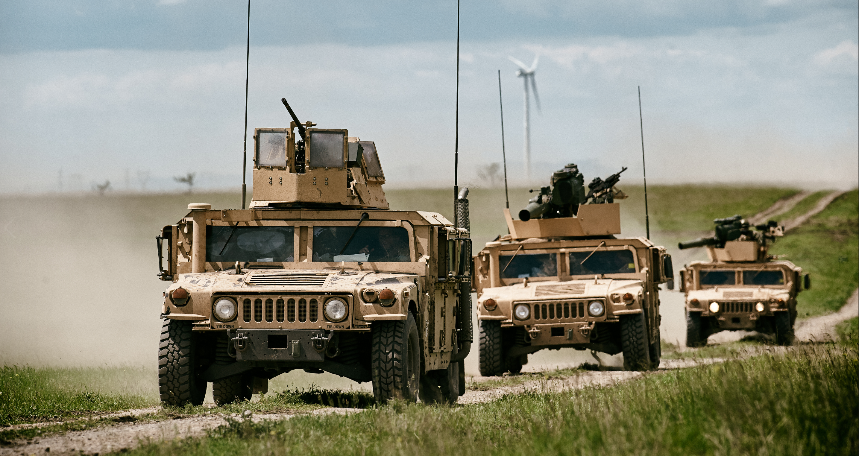
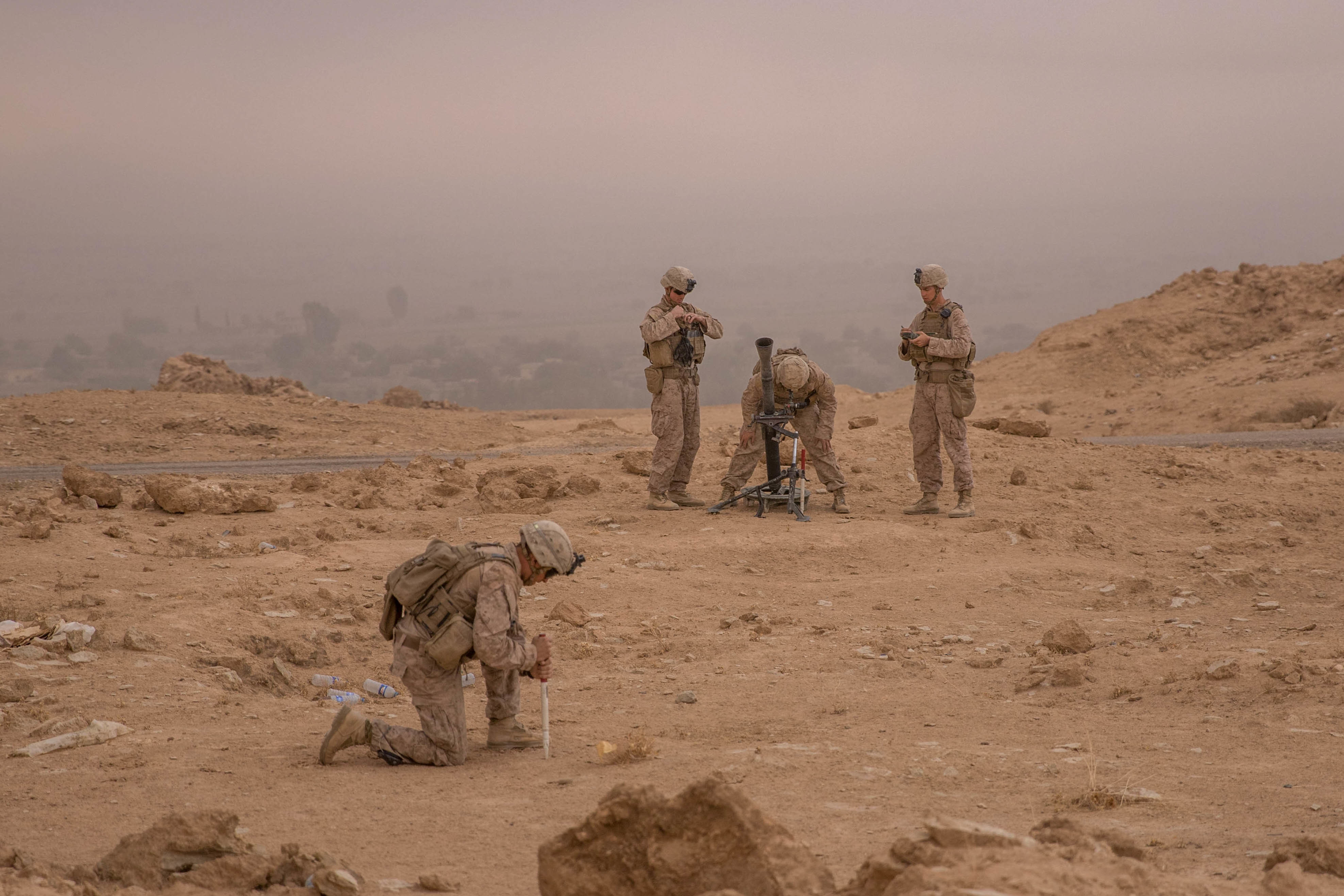
Live Training, Limits of Today

“Train as you fight, fight as you train”, that is a mantra that has circulated in the live training community for 30+ years. Simply put, the training a soldier does should ultimately be 100% representative of what they do in the fight. Whatever cannot be simulated properly in training is unlikely to be performed adequately in battle.

Read More

Topics: Insider, orientation, OptoWOM, Military, Army

“Tunnel Guide” Feature for GPS-Aided INS Improves Performance During GNSS Outage

Posted by Will Dillingham on Jul 27, 2020 10:08:58 AM

Defining the Problem

For years Inertial Labs has produced high accuracy Inertial Navigation Systems (INS) at the world’s best price-performance ratio. An INS estimates the position, attitude, and velocity using the gyroscopes and accelerometers contained inside an inertial measurement unit (IMU). Position accuracy can be greatly improved when the INS is aided by Global Navigation Satellite System (GNSS). However, GNSS is not always available. Customer requirements demand for better performance of an INS during a GNSS outage. Outages can be caused by tunnels, urban canyons, roads under bridges, etc. 

Read More

Topics: Motion Capture, GPS Denied Navigation, GPS-Aided Navigation, Stabilization, Aiming, Pointing, Surveying, Mapping, Navigation

Marine Navigation and the Development of the Motion Reference Unit

Posted by Will Dillingham on Jun 18, 2020 3:22:54 PM

History of Marine Navigation

                The Stars

Early sea-fairing explorers utilized the stars as their navigational aid. Celestial navigation, or otherwise known as astronavigation utilized devices such as the gnomon, Kamal, sea astrolabe, quadrant, cross-staff, back-staff and sextant.

               Magnetic Compass

Dating back as early as 200 BCE in China during the reign of the Qin dynasty, the Chinese originally used magnetism to construct fortune-telling boards, which turned out to be used for following directions in more than one way (1). Early magnetic compasses began to be commonly used as navigation aids in the 11th century.

Read More

Topics: GPS Denied Navigation, GPS-Aided Navigation, Navigation, Marine, History

Gyroscopes and the History of Stabilization for Remote Weapons Stations

Posted by Will Dillingham on May 11, 2020 5:43:09 PM


What is a Remote Weapons Station?

A Remote Weapons Station (RWS) is a remotely operated weapons platform that utilizes light and medium caliber artillery shells. Typically, an RWS contains sensing components (angular rates, accelerations, etc.), motor drives, a turret, and a computer. Today, companies like Electro Optic Systems Pty Ltd are patenting next generation Electro Optic RWS that are gyro-stabilized, combat ready, and built for precision targeting(1).

Since the two most important characteristics for an RWS are aiming speed and accuracy, advanced methods of stabilization are required to ensure that targets are correctly dealt with. The most important component in this task is the gyroscope.

Read More

Topics: Insider, Stabilization, Aiming, Pointing, orientation

How Drones are Transforming Construction and Infrastructure Inspection

Posted by Will Dillingham on Apr 6, 2020 10:00:00 AM

Introduction

Ensuring our infrastructure is running, and our job and construction sites are safe should be a top priority. However, the maintenance and inspections needed is inherently dangerous and often time-consuming and repetitive, making drones instrumental and valuable tools.

Drones can capture all kinds of data from images and videos, LiDAR scanning, mapping data, and a variety of data types related to air conditions, location, and precision location, including inertial data. As a result of using drones for these initial inspections, we can more quickly pinpoint the location and cause of the problem, and ensure that fewer humans are put in harm’s way.

Read More

Topics: GPS-Aided Navigation, Surveying, UAV, Industrial


Inertial Labs Inc.

Solutions for all PNT Applications

Established in 2001, Inertial Labs is a leader in position and orientation technologies for commercial, industrial, aerospace and defense applications. Inertial Labs has a worldwide distributor and representative network covering 20+ countries across 6 continents and a standard product line spanning from Inertial Measurement Units (IMU) to GPS-Aided Inertial Navigation Systems (INS). With application breadth on Land, Air, and Sea; Inertial Labs covers the gambit of inertial technologies and solutions.

What makes us different:

Subscribe Here!

Recent Posts