Autonomous Vehicles
Autonomous Vehicles have long been viewed as the logical next monumental breakthrough in engineering. A fantastical feat that has been depicted throughout Hollywood and analyzed by many journals; autonomous vehicles are one of the most highly scrutinized potential breakthroughs of this decade. There are 6 levels of autonomy which represent a progressive pathway to level 5 – full autonomy. So, this begs the questions: How long until we reach complete autonomy? What level of autonomy are we at now? And how is it accomplished? First, let’s get a clear picture of what each level of autonomy entails.
Read More
Topics:
GPS-Aided Navigation,
Remote Sensing,
INS-D,
Position,
PNT
What is Spoofing?
Satellite constellations use RF signals to transmit information to GNSS receivers. These signals contain information on the satellite ephemeris, clock bias parameters, almanac, satellite health status and other information. Receivers use these signals to compute position (and timing) information in global coordinates of longitudinal and latitudinal location. Spoofers transmit signals with higher relative power (a dominating signal strength) than the GNSS/GPS signals that are typically received by receivers. These signals contain false positioning information which results in the receiver believing false data. This used to be a complicated and expensive process that only militaries could perform, but with technological advances and the growing pervasiveness of the internet, GPS spoofing transmitters can be found easily and inexpensively by members of the civilian population.
Read More
Topics:
INS-D,
GPS,
GNSS,
receiver,
NovAtel,
Spoofing
The Kernel-100
The Kernel-100 is a compact and lightweight Inertial Measurement Unit (IMU) and Digital Tilt Sensor (DTS) that consists of precision tri-axis MEMS accelerometers and tri-axis MEMS gyroscopes. This industrial grade IMU measures linear accelerations and angular rates with low noise and good repeatability. With continuous built-in test (BIT), electromagnetic interference protection, and flexible input power requirements, the Kernel-100 is easy to use in a wide range of higher order systems.
Read More
Topics:
Stabilization,
Surveying,
Industrial,
IMU,
Development,
Kernel,
Tactical
What is a Directional Survey?
A directional survey is a survey method that can be used to map a variety of underground drilling applications. Directional surveys are used to map a planned underground route by using aiding data provided from any combination of directional survey stations. [1] Directional survey stations serve as a reference point that corresponds to a measured depth along the actual bored path known as the actual well path. While the drill bores a hole along a planned route, data regarding the borehole inclination and azimuth is transmitted back to a computer that is controlled by an operator. This data allows the operator to control the speed and direction of the drill as it advances. Directional surveying enables the user to carry out operation with minimal disturbance to natural habitats and helps to reduce accidents that can occur from directional drilling, which is any drilling is not directly downwards.
Read More
Topics:
Surveying,
Industrial,
miniAHRS
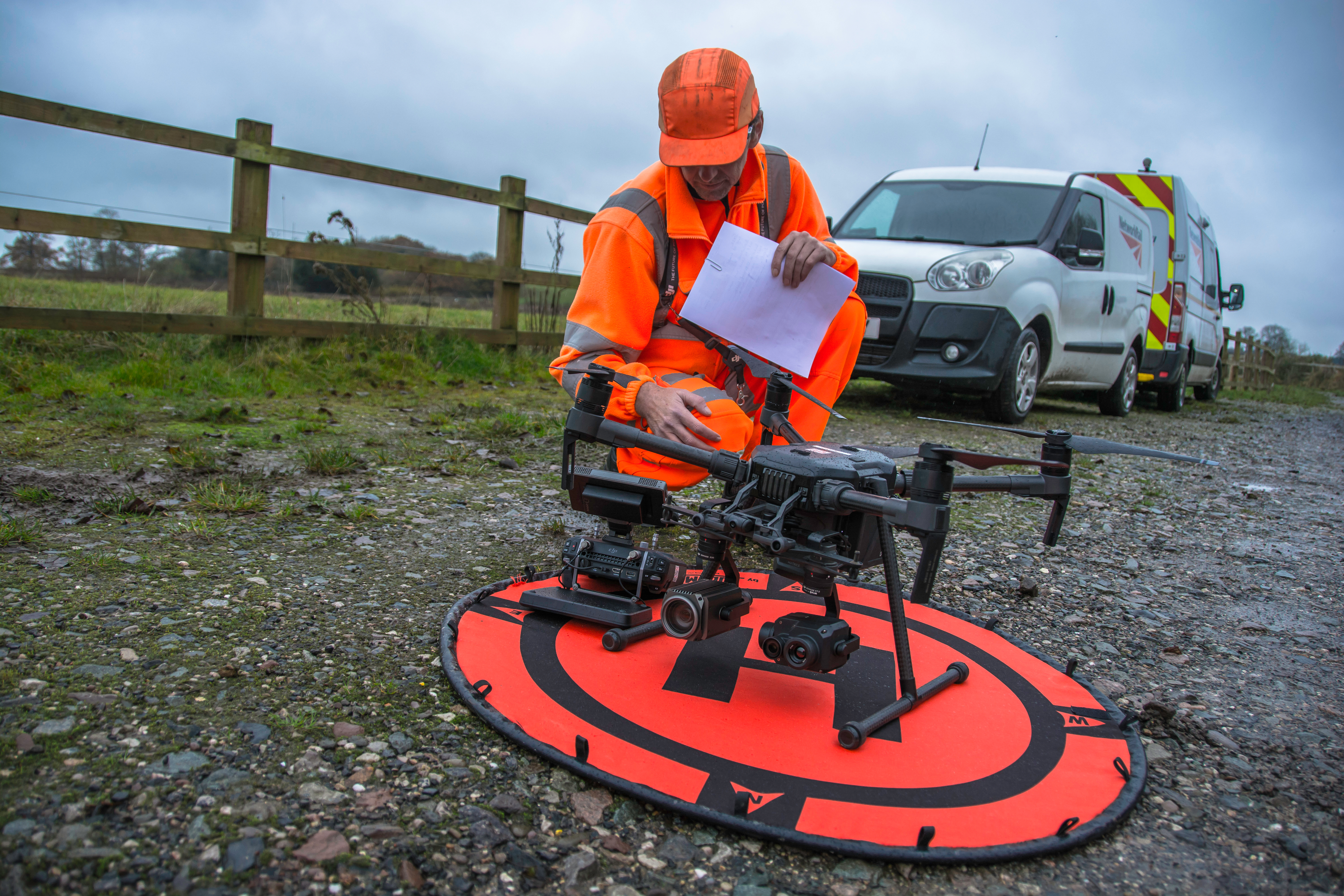
Introduction to Remote Sensing and Scanning
Light detection and ranging (LiDAR) sensors are a commonly used source of optical information for remote sensing payloads in scanning and surveying applications. LiDAR payloads use penetrating pulses of laser light that are reflected and used to determine relative distance to the point that it reflected from. When these pulses backscatter (reflect at an angle of 180 degrees), many payloads will use inertial navigation systems (INS) to timestamp and georeference data points that are acquired. Compiled together, these individual data points paired with point cloud software streamline the process for analyzing structures and ground planes.
Read More
Topics:
Remote Sensing,
LiDAR,
RESEPI