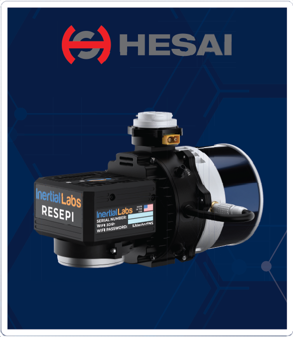
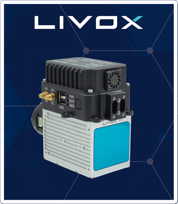
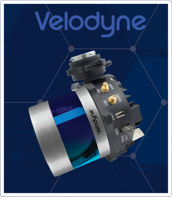
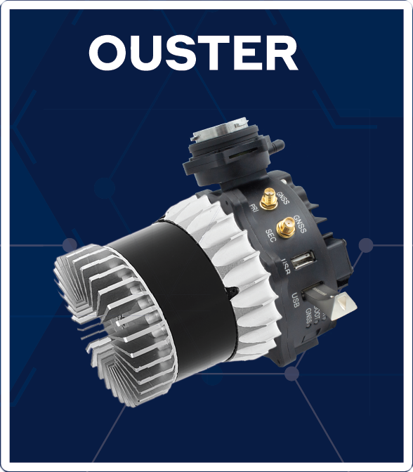
RESEPI
The Best LiDAR Solutionfor Mapping & Inspection
Download Datasheets
Choose Your Business Model
- Distributor
Become a distributor and sell our products in your market! - White Label
Sell our units branded as your own. - Retail Customer
Buy and fly!
Develop Your Custom
LiDAR Payload


Applications
- Topographic Mapping
- Utility Mapping
- Precision Agriculture
- Simultaneous Localization and Mapping (SLAM) Algorithm Development
- Construction Site Inspection & Monitoring
- LiDAR Remote Sensing
Key Features
- 0.37 kg Weight without LiDAR
- Up to 1 TB USB Drive
- 2-3 cm PPK Point Cloud Accuracy
- Up to 200m AGL Capabilities
- USB Camera Interface
- Automated PPK Trajectory Generation
- Multiple LiDAR Scanner Integrations
Develop Your Own
Custom LiDAR
- LiDAR
- Inertial Measurement Unit (IMU)
- Software Package
